Be it a wild-land firefighter locating smoke or a wildlife biologist tracking subjects, or one of many other users, Field Triangulate is often used in the back country, away from cellular networks. Field Triangulate works offline (to accept locations and bearings and generate a triangulated location) but it cannot show maps offline. I often get asked about adding “offline maps” support to Field Triangulate, but that is not on the product development roadmap at this time.
Topo Maps+ from Glacier Peak Studios is an excellent offline topographic map solution for iOS (iPhone and iPad.) It provides access to a wide variety of offline downloadable maps, and offers GPS features.
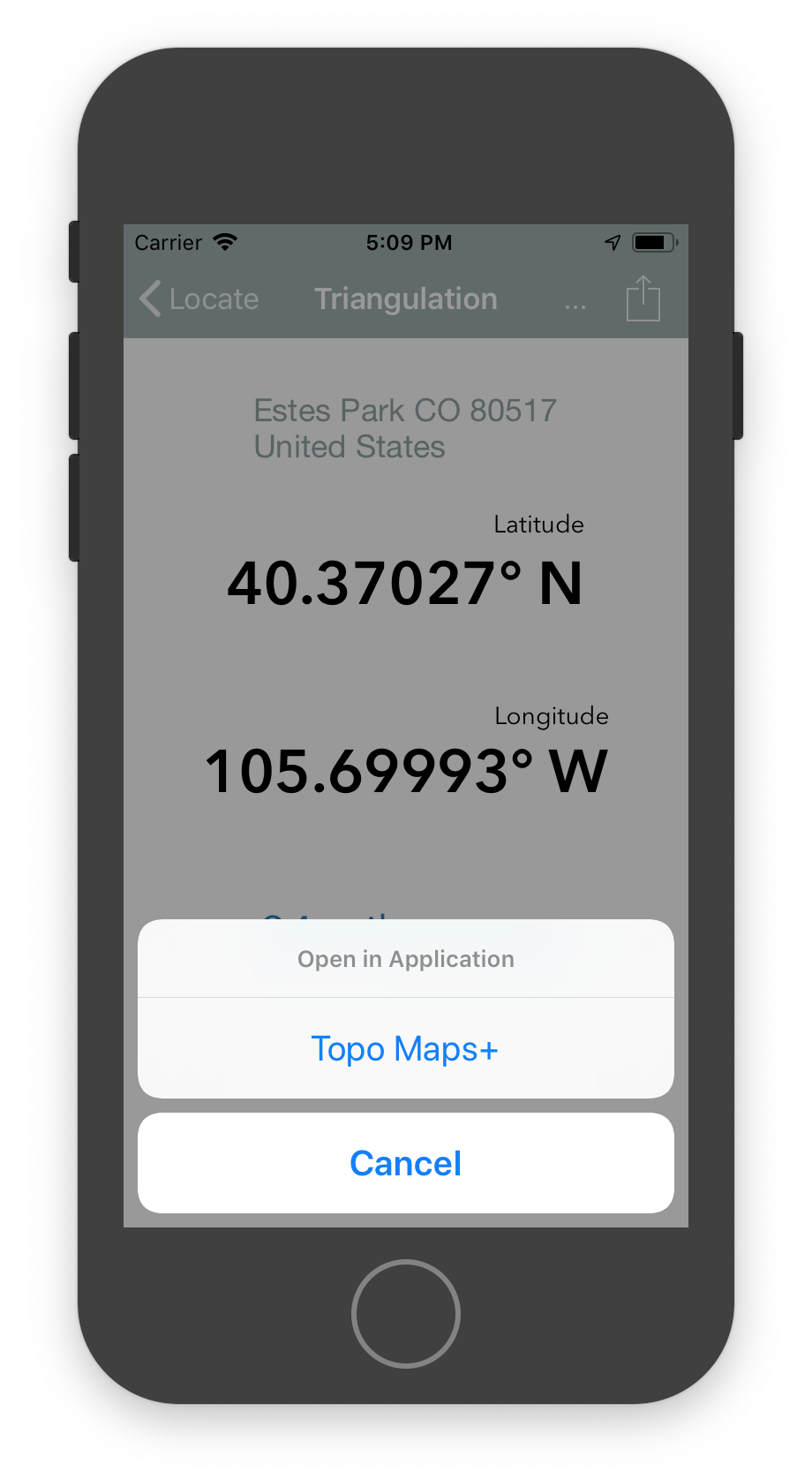
Field Triangulate for iOS version 1.1.2 will allow a triangulation (latitude / longitude) to be sent to Topo Maps+ (even when fully offline) in order for Topo Maps+ to display the map for that location. Topo Maps+ will use the current map, and current zoom to present that location.
Use Topo Maps+ to survey the terrain at the location, and between you and that location.
Topo Maps+ will even allow you to use that triangulation as a waypoint, allowing you to easily navigate to it.
Do you use other Topo Mapping Apps?
Let me know what application you use for offline-capable topographic maps on Android devices, and I’ll look to integrating Field Triangulate to that on Android.